World War One:
A distant memory
The last part of the advance, wrote the
regimental historian, "was more or less of a route march enlivened by the sight of
the
panic-stricken enemy running in every direction".
Canadian Official History of the CEF
The "Demuin" Map

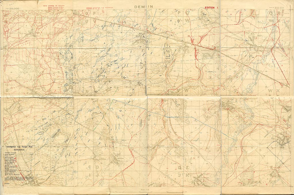
This map details the axis of attack of the Canadian Corps and the 78th Bn on August 8th, 1918. German trenches are in Blue and British in Red. The actual Green and Blue lines are pencilled on the map (these denote where the regiments are supposed to end up after a period of advance. The Australians attacked to the north of Hangard Woods, and the French to the south through Moreuil. The Canadians went straight down the center along the Luce River toward Demuin.
Below: The overall map is presented
with a section zoomed in to reveal details. Interestingly the positions of the
German machine guns in Hangard wood are not marked-- obviously leading to the surprises
when they were encountered.
The 78th crossed the River Luce and then passed through the 1st and 2nd Divisions towards
Le Quesnel (to the lower right).
The 78th was supported by tanks and some infantry were ferried in MK V (extended cab
tanks). This was not overly successful as the infantry in the tanks were overcome by fumes
and tossed about. The Whippet tanks broke through north of the River Luce. The
13th battalion attacked the Croates trench in coordination with tanks..
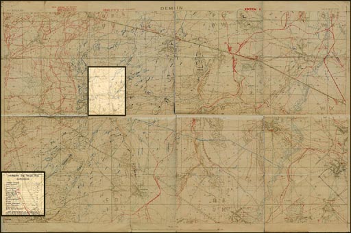
Highlighted areas
Comments from 9th Brigade's breakthrough at Dodo
Wood:
Brig.-Gen. D. M. Ormond's 9th Brigade achieved early and satisfying success.
Taken completely by surprise the Germans allowed themselves to be overrun in their
positions, many surrendering without firing a shot. In a little more than an hour the 43rd
Battalion on the right had men in Rifle (or "Dodo") Wood, immediately south of
the main
road; but it was not until 7:30, after the 116th Battalion had overcome German resistance
north of the road and tanks had worked their way southward among the shattered stumps
cleaning out machine-gun posts, that the wood could be reported free of enemy. There
were regimental claims of upwards of 40 machine-guns captured, and more than 250
German prisoners. The tanks had found the going hard. Handicapped by a lack of a detailed
ground reconnaissance - which was forbidden in the interests of security - they were
blinded by the dense mist and further impeded by the marshy ground. Many were late in
starting and all found it virtually impossible to maintain direction and keep touch with
the
foot soldiers as tank-infantry co-operation largely broke down.
Canadian Official History of the CEF
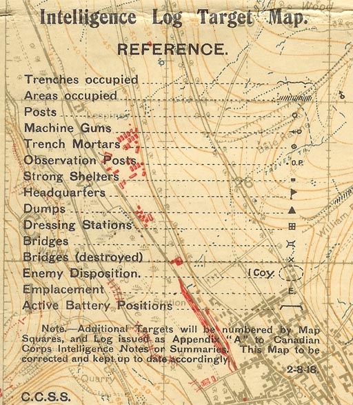
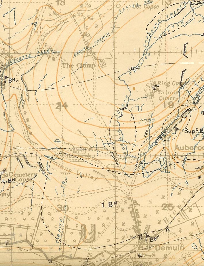
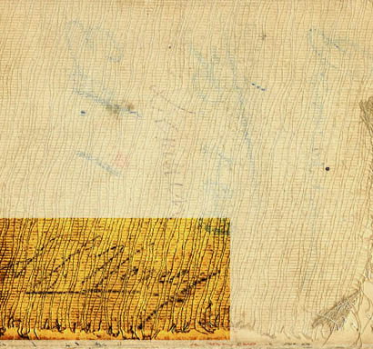
The Demuin map in close up shows the crossing points of the river Luce, and the map legend.
This map belonged to Lt. S. L. Honey VC. His signature here on the back matches his attestation papers signature. My Grandfather saved this map as a memento of both Lt. Honey, and possibly to remember the decisive breakthrough on August 8th-10th.
Testimonials:
The 13th CanadianBn attacks and carries
the wood at Hangard and advances 5000 yards on August 8th.
http://www.boundbygravity.com/2004/12/battle-at-hangard-wood.aspx
A medical officer's story of the advance:
http://www.vac-acc.gc.ca/general/sub.cfm?source=history/firstwar/1diary/bellenden
The 102nd battalion on the right flank of
the 78th:
http://www.102ndbattalioncef.ca/warpages/102CHAP010.htm
There's a number of German artillery
positions near Aubercourt, these are the ones overrun by the famous charge of the
Whippet tank named "Musical Box" on August 8th 1918. The
tank was finally knocked out on its "ride to Berlin" near Guillancourt, seen on
the Demuin map:
http://www.landships.freeservers.com/musical_box.htm
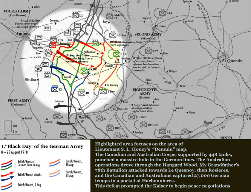
Source: Historical Atlas of World War I. Anthony Livesey, Henry Holt and
Company: New York. 1994
http://en.wikipedia.org/wiki/Image:Amiensmap001.JPG
(All images © 2006 Jeff Jonas)
01/20/07